Space Engineering Company — Iraq
Engineering the ground.Mapping the future.
Advanced Surveying, Geospatial, Geotechnical and Engineering Solutions.
Capabilities
Eight disciplines. One measurement standard.
Integrated survey, geospatial and subsurface capability — from field acquisition through processing to reporting.
CORS Network & RTK
The reference frame comes first.
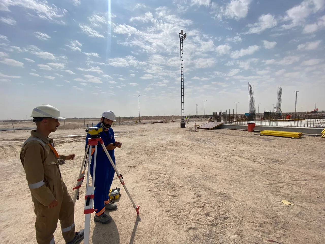
A survey is only as good as its reference frame. SEC builds and operates continuously operating reference stations and delivers RTK correction services, referencing rovers, UAVs and machine control on a project to a common datum where network coverage is available.
Explore CORS & RTK Services- CORS StationContinuous GNSS reference
- Correction NetworkNTRIP · RTCM
- Field DevicesGNSS rover · UAV · machine control
- Engineering PositioningPositioning referenced to a common datum
Workflow
From field to engineering intelligence.
Measurement is the start, not the deliverable. Positioning control, processing and QA/QC sit between field acquisition and the engineering deliverable.
- 01
Field Acquisition
GNSS, UAV, LiDAR, GPR and hydrographic capture
- 02
Positioning & Control
CORS-referenced control networks
- 03
Data Processing
Point clouds, surfaces, imagery and GIS layers
- 04
QA / QC
Independent checks against control
- 05
Engineering Deliverables
Drawings, models and reports — issued to the agreed scope
GNSS · CORS · UAV · LiDAR · Laser Scanning · GPR · Bathymetry · GIS
Industries
Built for demanding sectors.
Technology
The instruments behind the data.
- 01
GNSS Receivers
Satellite positioning that ties field measurement to the project's reference frame.
- 02
CORS Reference Stations
Reference station infrastructure supporting professional GNSS positioning workflows.
- 03
UAV Platforms
Airborne platforms that carry a survey payload over a site rather than across it.
- 04
LiDAR Sensors
Laser ranging sensors that record surfaces as dense point measurements.
- 05
3D Laser Scanners
Tripod-mounted instruments that record an existing asset in its present state.
Start with a site conversation.
Tell us about your project — we'll bring the measurement strategy.